 Thicket
Thicket
A hunting map and logbook for iPhone.
Mark your stands, record the routes you walk, log what you see and what you take, and check the sun, the moon and the weather for the place you are standing.
Not on the App Store yetThere is no account to create and nothing to sign in to. Your records are stored on your iPhone.

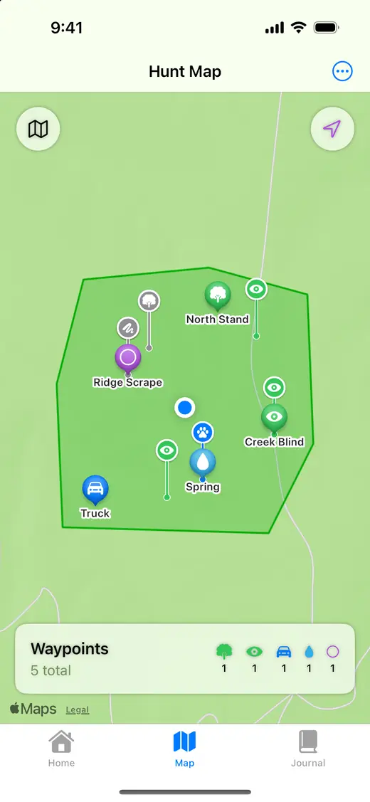
Map and waypoints
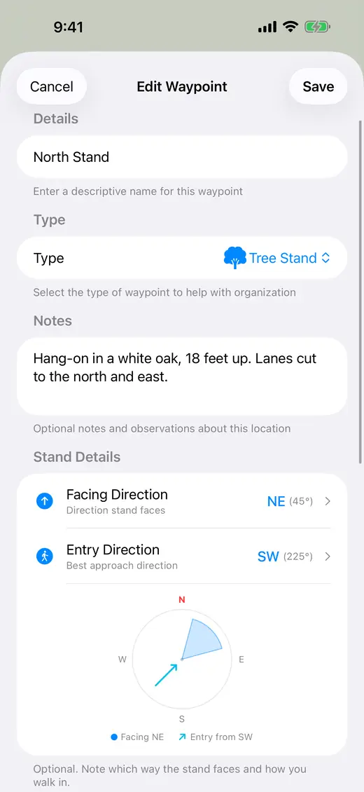
- Press and hold the map to drop a waypoint: tree stand, ground blind, trail marker, game trail, parking, campsite, water source, food plot, scrape, rub or other.
- A name is optional. Leave it blank and the waypoint is named for its type and the time.
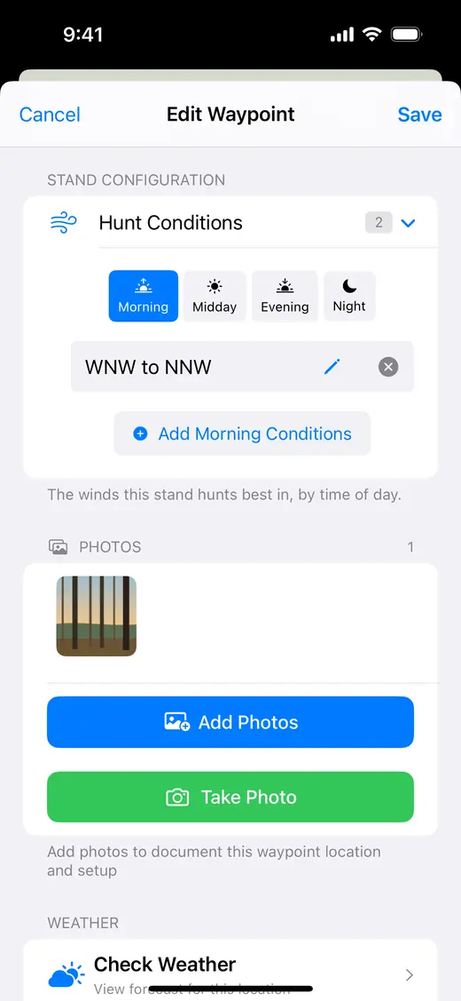
- Add notes and photos to a waypoint.
- For a tree stand or ground blind, note which way it faces, how you walk in, and the winds it hunts best in by time of day.
- Draw a hunt area on the map and see its acreage. A hunt area is your own drawing. The app has no property lines and no public land data.
- Standard and Satellite maps, and a Night setting.
- Export your waypoints as GPX, CSV or JSON, and import waypoints from files in those formats.
Routes
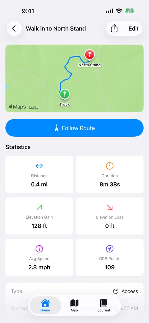
- Record the walk in.
- Pause, resume and stop. Save the route with a name and notes, and see its distance, time, average speed, and elevation gain and loss.
- Guide me back: follow the recording so far back to where it began.
- Follow a saved route in either direction. A bar shows how far is left to walk and how far you are off the line.
- Share a saved route as a GPX file.

Logbook
- Log a sighting or a harvest. Species is the only thing you have to enter. The place, the time and the weather are filled in for you, and you can change them before you save.
- A harvest can also carry sex, weapon, shot distance in yards, where the animal stood and where you recovered it, weight, antler measurements, a tag number and notes.
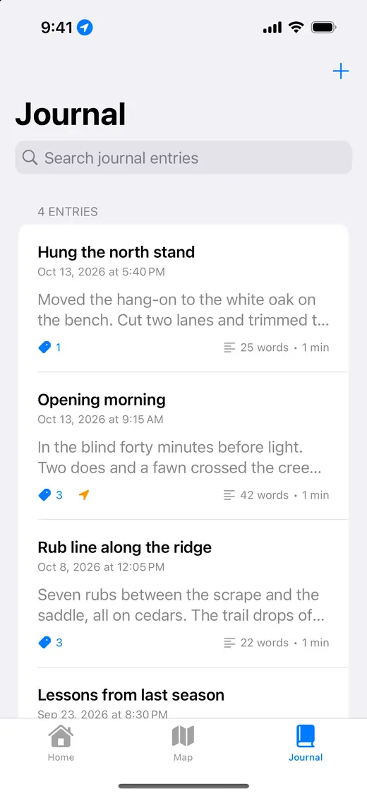
- Keep a journal, with tags.
- Weather on a record is the nearest National Weather Service station's reading. With no reading, the record says "Not captured". Nothing is guessed.
Thicket is not affiliated with or endorsed by NOAA or the National Weather Service.
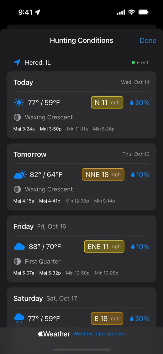
Sun, moon and weather
- Sunrise and sunset for where you are, today and tomorrow, and the time left until sunset.
- Sunset Alert: one notification for today, at sunset or up to 30 minutes before or 60 minutes after.
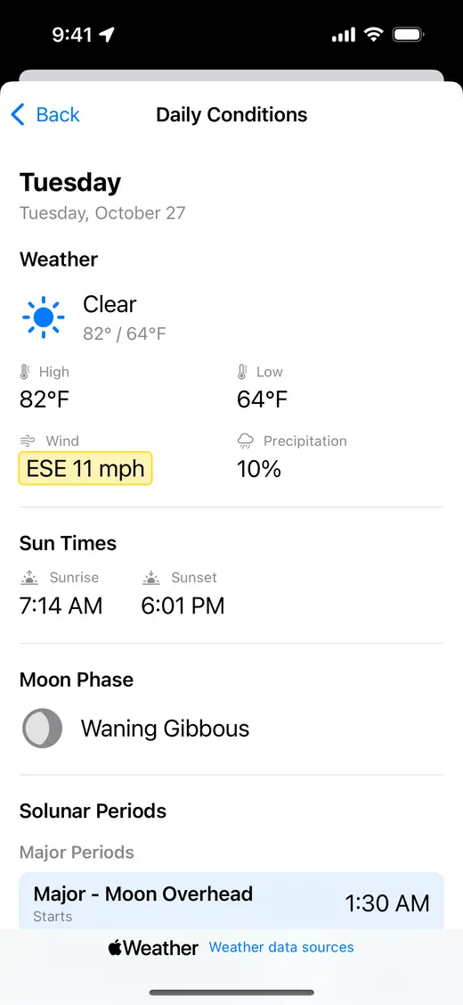
- Solunar table: major and minor periods worked out from the moon's position, and the moon's phase.
- Weather from Apple Weather: hour by hour for 48 hours and day by day for 10 days, with wind and pressure.
- Hunting Conditions: weather, wind, sun times, moon phase and solunar periods, day by day for the next 10 days.
Planning
- A hunt plan keeps a hunt's date, place, notes and gear checklist together.
- Gear checklists, with five templates to start from: whitetail archery, whitetail firearm, spring turkey, waterfowl and backcountry elk.
- Keep your hunting licenses and the dates they expire in one list.
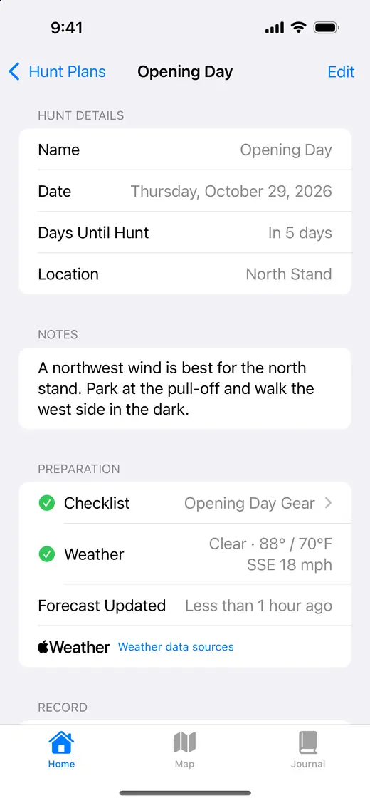
The pictures show sample records and sample weather.
What it needs
- An iPhone with iOS 18.5 or later.
- Your location, while you are using the app. It shows where you are, records your routes, places your waypoints and log entries, and gets sun times and weather for your spot.
- A signal for map imagery, weather and place names.
- Distances are in miles, feet and yards. Temperature is in °F or °C.
What it does not do
- It does not know game laws. Seasons, shooting hours, bag limits, license rules and property lines are yours to check. A sunrise or sunset time in the app is the time the sun rises or sets, and nothing more.
- It does not replace a map, a compass and your own judgment in the field.
Privacy
Your records are stored on your iPhone. The app sends locations to Apple for weather, place names and maps, and a rounded one to the National Weather Service for a record's weather. If the app crashes, a report built to leave out your locations and anything you typed goes to our crash-reporting service. You can turn that off in App Settings. The full policy.
Questions
Thicket Support has how to reach us and answers to common questions. The app's licence is the Terms of Use.